
Aquatonomy brings together autonomous underwater robotics and an engineering-focused data platform to inspect complex submerged assets in low or zero visibility. The result is comprehensive, spatially organized information that supports immediate inspection needs and long-term asset management.
How it works
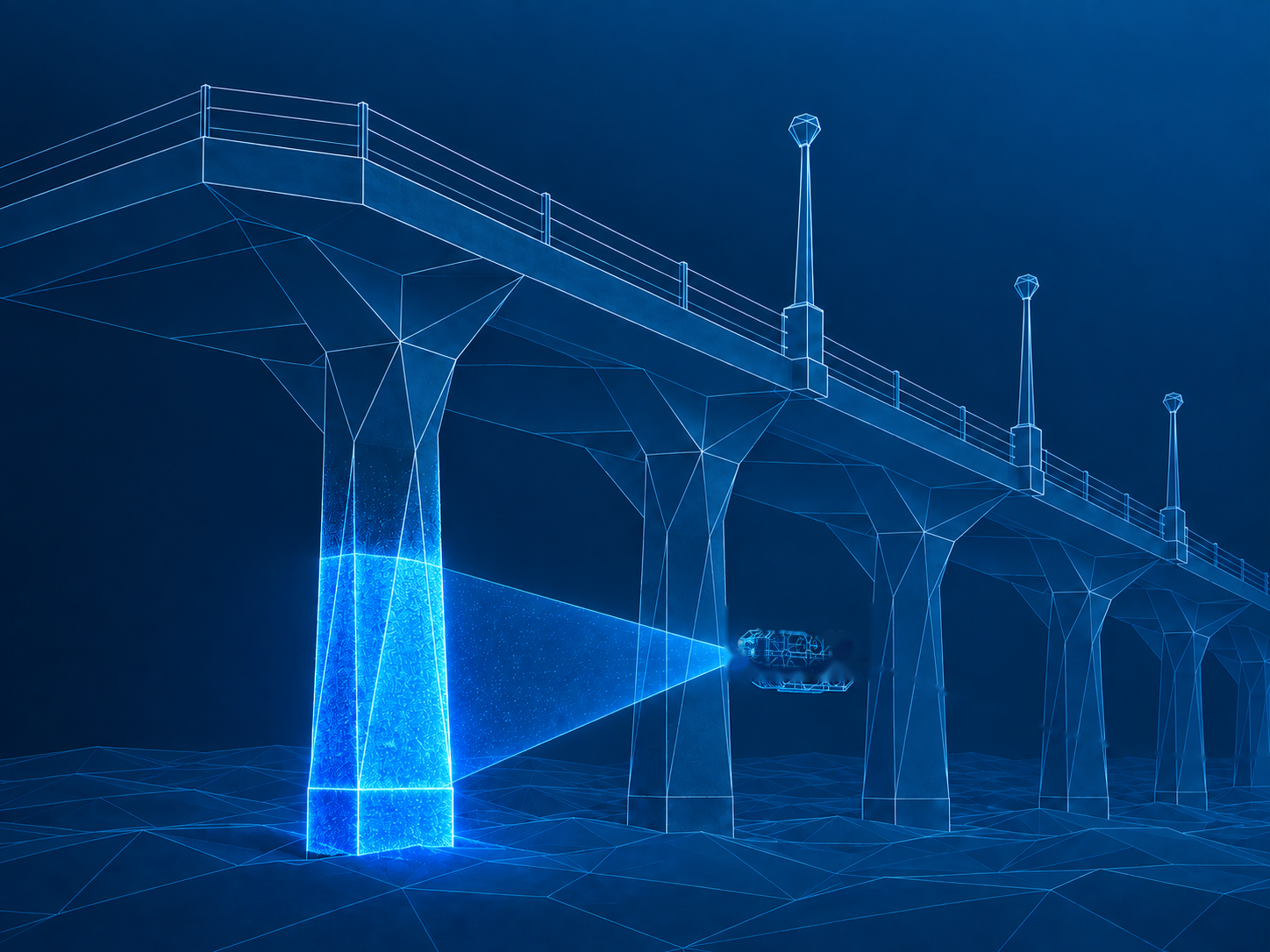
Aquatonomy's vehicles navigate and maintain position in GPS-denied underwater environments while collecting sonar, camera, and other sensor data. Autonomous control reduces operator workload and enables systematic coverage of complex structures.
Safer operations
Less downtime
Zero-visibility capable
100% coverage
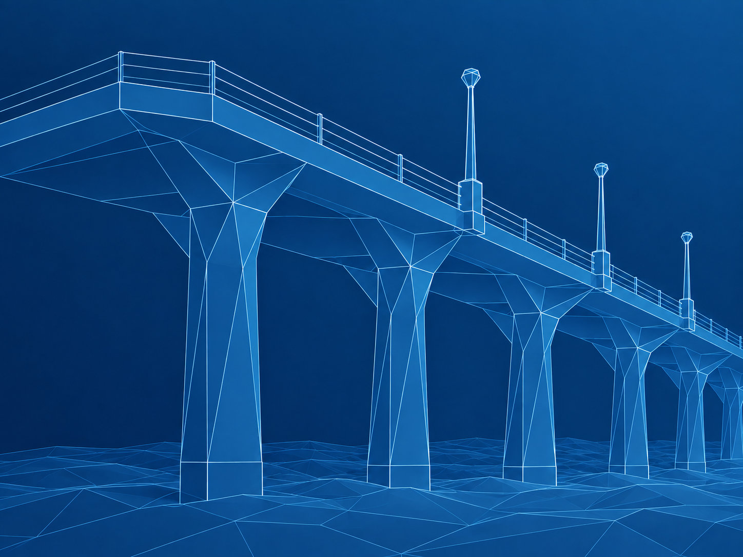
As the robot moves, Aquatonomy creates a live spatial representation of the environment. Operators can understand the robot's position, see what has been captured, identify gaps, and adjust the mission before leaving the site.
Real-time visilbility
Coverage verification
Captured sonar and camera data is processed into high-resolution 3D models that preserve asset geometry and connect observations to precise locations.
Trusted accuracy
Measurement-grade data
Geo-referenced
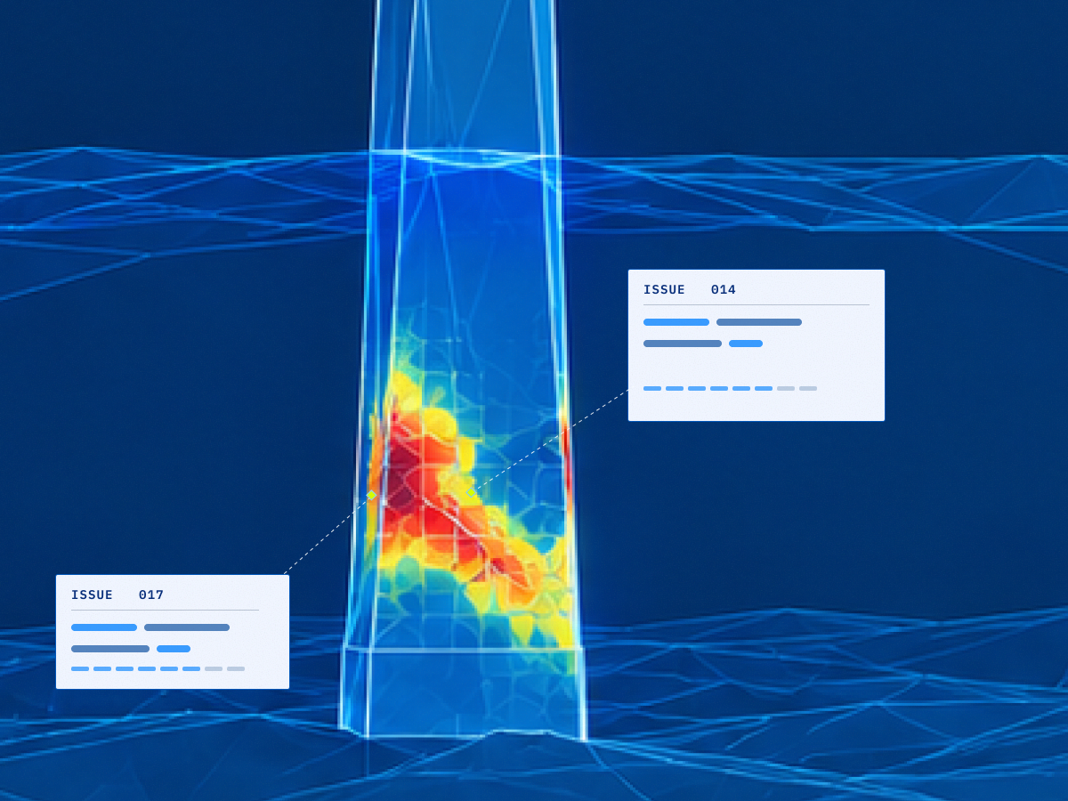
Aquatonomy's data platform helps users review inspection results, document visible issues, compare repeat scans, and organize information for maintenance and engineering workflows.
Early detection
Proactive maintenance
Smarter planning
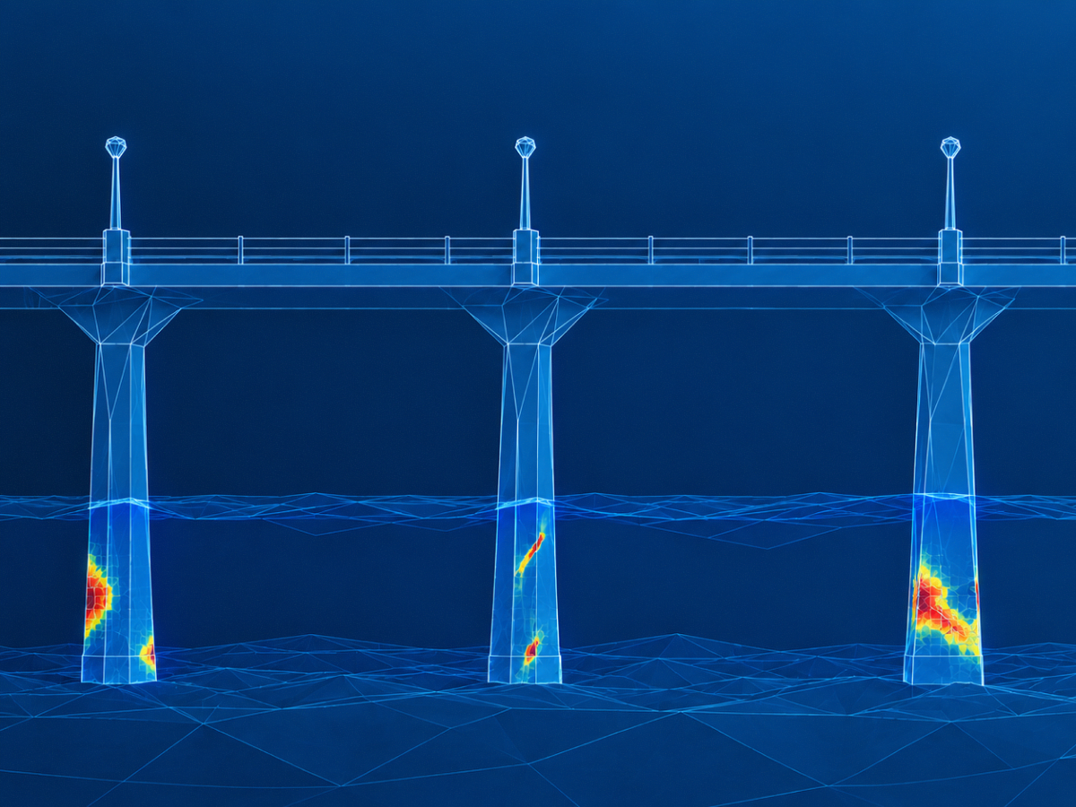
Users can select a location or probable issue within the mapped environment, and the robot can return to that area to collect closer-range imagery or additional sensor data.
Continuous monitoring
Predictive maintenance
Maintenance planning
The result
Use cases
From active construction to legacy infrastructure that's been around for centuries, Aquatonomy gives you a clear picture of what's happening underwater — at every stage of an asset's life.
Routine condition assessments for seawalls, piers, locks, and dams, without shutting down operations or sending divers into the water. Get a full picture of asset health, updated on your schedule.
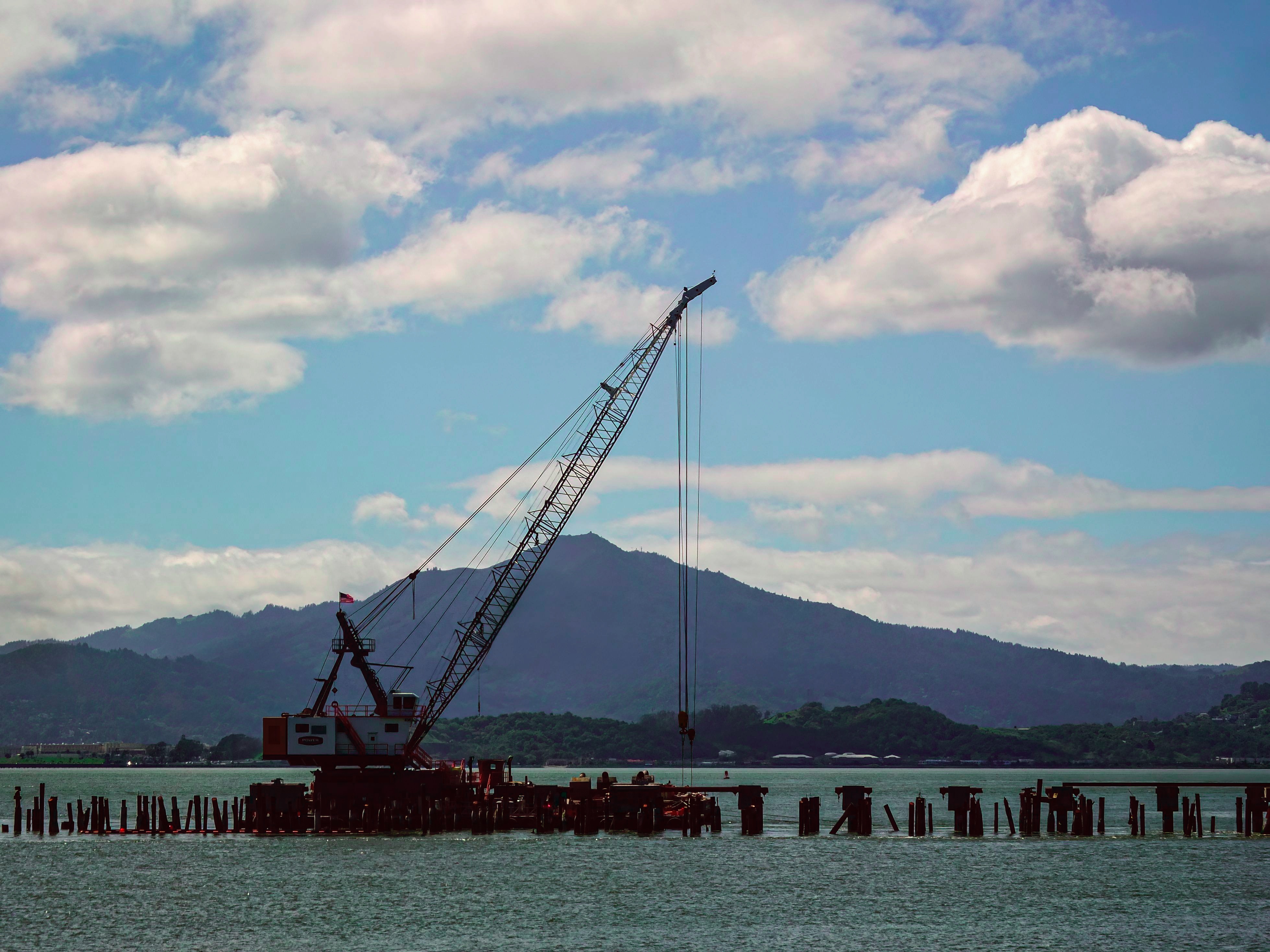
Track progress and verify work in real time during construction and rehab projects. Compare as-built conditions against design specs, and catch issues before they're buried under water or concrete.
Assess hull condition, fouling, and damage without dry-docking. Faster turnaround, lower cost, and a permanent record to compare against the next inspection.
Other applications:
• Compliance and asset-management inspections
• Post-event and emergency surveys
• Enhanced situational awareness for dive and ROV operations
• Search and rescue operations
The engagement process
01
We discuss the asset, inspection objectives, operating conditions, existing data, and the decisions the inspection must support.
Typical timing: 1–3 weeks
02
Aquatonomy defines the operating approach, data products, site requirements, schedule, safety plan, and commercial scope.
Typical timing: within 2 weeks, in collaboration with the asset owner
03
The robot conducts the planned inspection while the team monitors navigation, data quality, and coverage.
Typical timing: hours to days, depending on scope
04
Aquatonomy processes the data, delivers the agreed 3D models and inspection outputs, and reviews the results with customer stakeholders.
Typical timing: within 2 weeks of deployment, depending on scope
05
Where recurring inspection creates value, the first deployment establishes a baseline for future comparison, change tracking, and portfolio-level planning.
We will help define the inspection scope, operating approach, required data products, and practical next steps.